Principle 01
ABsynergy principle
Strategy
Every assignment starts from the decision it must support, not from the instrument available.
Strategy • Foresight • Data • Research

Scientific and Technical Consultancy
STRATEGY | FORESIGHT | DATA | RESEARCH
Combining Remote Sensing, Drone Surveys, LiDAR, GPR, and Spatial Analytics to deliver data-driven intelligence for geo-environmental, heritage, and infrastructural challenges.
Founded in 2014, ABsynergy is a technology-driven organization built on the principles of strategy, foresight, data, and research. Over 12 years, we have delivered 100+ projects through our two specialized units ~ Vasudhayan and Mandirayan (earlier GeoWISE System), each combining scientific rigor with advanced Geo-Spatial technology to solve real-world challenges.
Scientific & Technical Consultancy
12+
Years of practice
01 / Our practice
ABsynergy is led by Dr. Ajay Deshpande and supported by senior advisors, subject experts and a team of Remote Sensing / GIS Associates, Geologists and Geographers. Work is delivered through two specialised units — Vasudhayan and Mandirayan (earlier GeoWISE System).
02 / Vision
To apply strategy, foresight, data and research so that geospatial technology becomes the dependable basis for geo-environmental, heritage and infrastructural decisions.
03 / Mission
To deliver scientifically rigorous, technology-driven consultancy across environment, water, mining, forest, urban and heritage domains — and to build capacity through training, internships and knowledge transfer.
The way we think shapes the way we acquire data, apply technology and deliver scientific intelligence.
ABsynergy principle
Every assignment starts from the decision it must support, not from the instrument available.
ABsynergy principle
Emerging technologies — Gaussian splats, digital twins, agentic AI — are adopted where they measurably improve outcomes.
ABsynergy principle
Survey-grade acquisition with DGPS/CORS control, documented processing and verifiable deliverables.
ABsynergy principle
Three decades of institutional research experience applied to commercial and public-sector delivery.
Chronology of events
A progression from establishing the consultancy to expanding technical capabilities and introducing structured capacity building programmes.
2014
ABsynergy established as a scientific and technical consultancy.
2020
Strengthening of the core technical team.
01 Sep 2025
Full scale expansion and broadened services.
01 Sep 2026
Beyond project activities initiated – Trainings / Internships / Capacity Building Programmes.
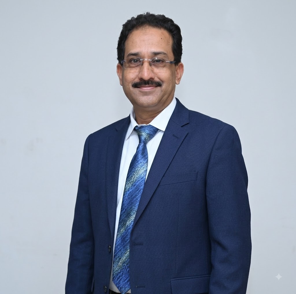
Dr. Ajay Deshpande
Founder and CEO
Leadership
Dr. Ajay Deshpande brings over three decades of rich professional experience, having served premier government institutions such as the Maharashtra Remote Sensing Application Centre (MRSAC), where he served as Resources Scientist – Grade Scientist SG, and NEERI. He holds a Ph.D. in Geoinformatics, is an expert in Applied Geology and a certified DGCA drone pilot, and is a recipient of the National e-Governance Gold Award.
MRSAC
Resources Scientist – Grade Scientist SG at the Maharashtra Remote Sensing Application Centre.
NEERI
Served at the National Environmental Engineering Research Institute.
Guardian Scientist
Guardian Scientist for Geology, Mining and Archaeology, and for strategic applications for the Police and Home Department, Government of Maharashtra.
Guardian Scientist for Geology, Mining, Archaeology, and strategic applications for the Police and Home Department of the Government of Maharashtra.
Team & Leadership
ABsynergy brings together experienced professionals, domain experts and technical associates across geospatial technology, environment, water, heritage, project management and digital technology.
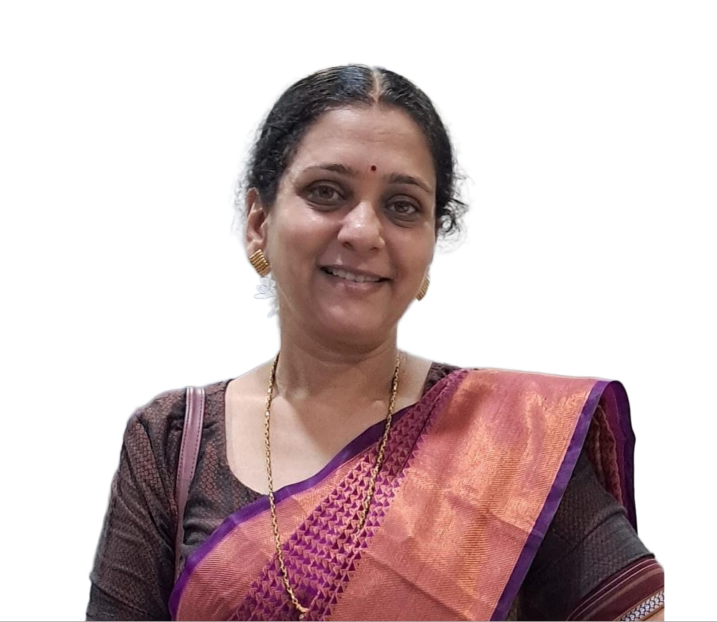
ABsynergy
Founder & Coordinator - ABsynergy
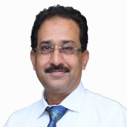
ABsynergy
Founder and CEO

ABsynergy
Senior Advisor, Drone Technology & Applications
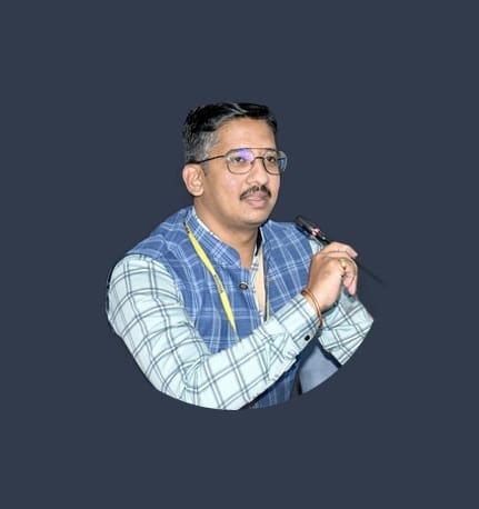
ABsynergy
Associate, Project Management Expert
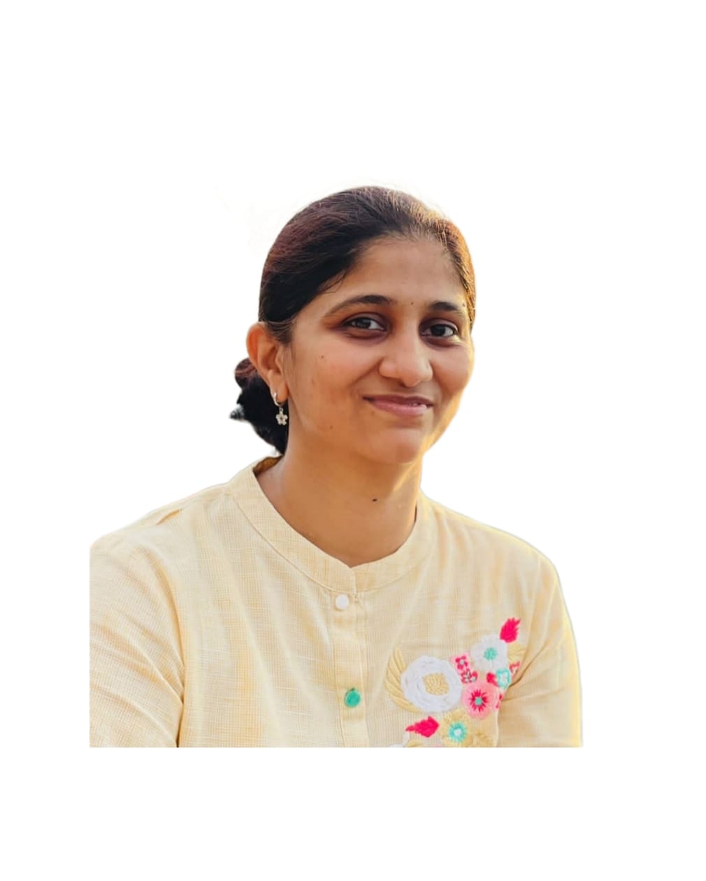
ABsynergy
Associate, Environment and Biodiversity Expert
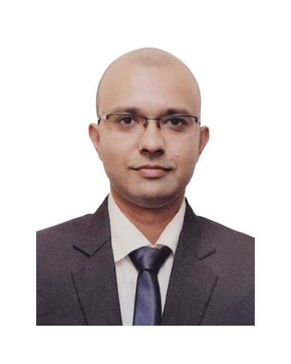
ABsynergy
Associate, Forestry and Ecology Expert

ABsynergy
Associate, Water Expert
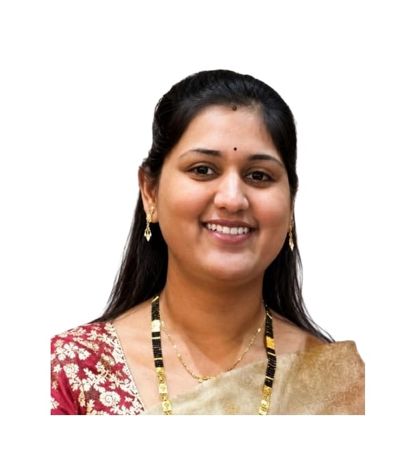
ABsynergy
Principal Consultant – Geography & Geospatial Sciences
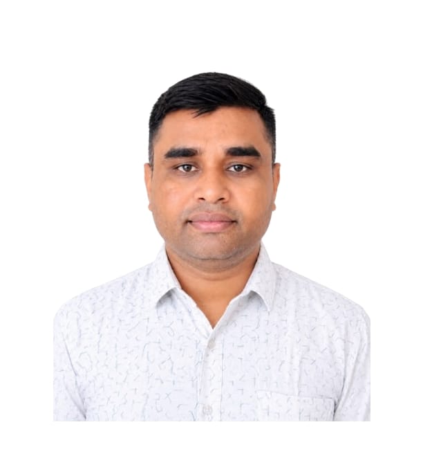
ABsynergy
Associate, Aeromodelling Instructor and DRONE Pilot Trainer
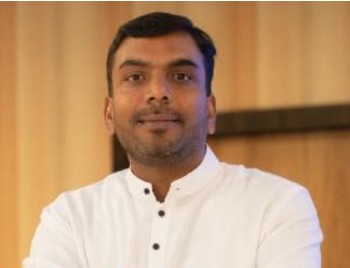
ABsynergy
Remote Sensing, GIS & Geoinformatics Specialist

ABsynergy
Associate, Drone Pilot
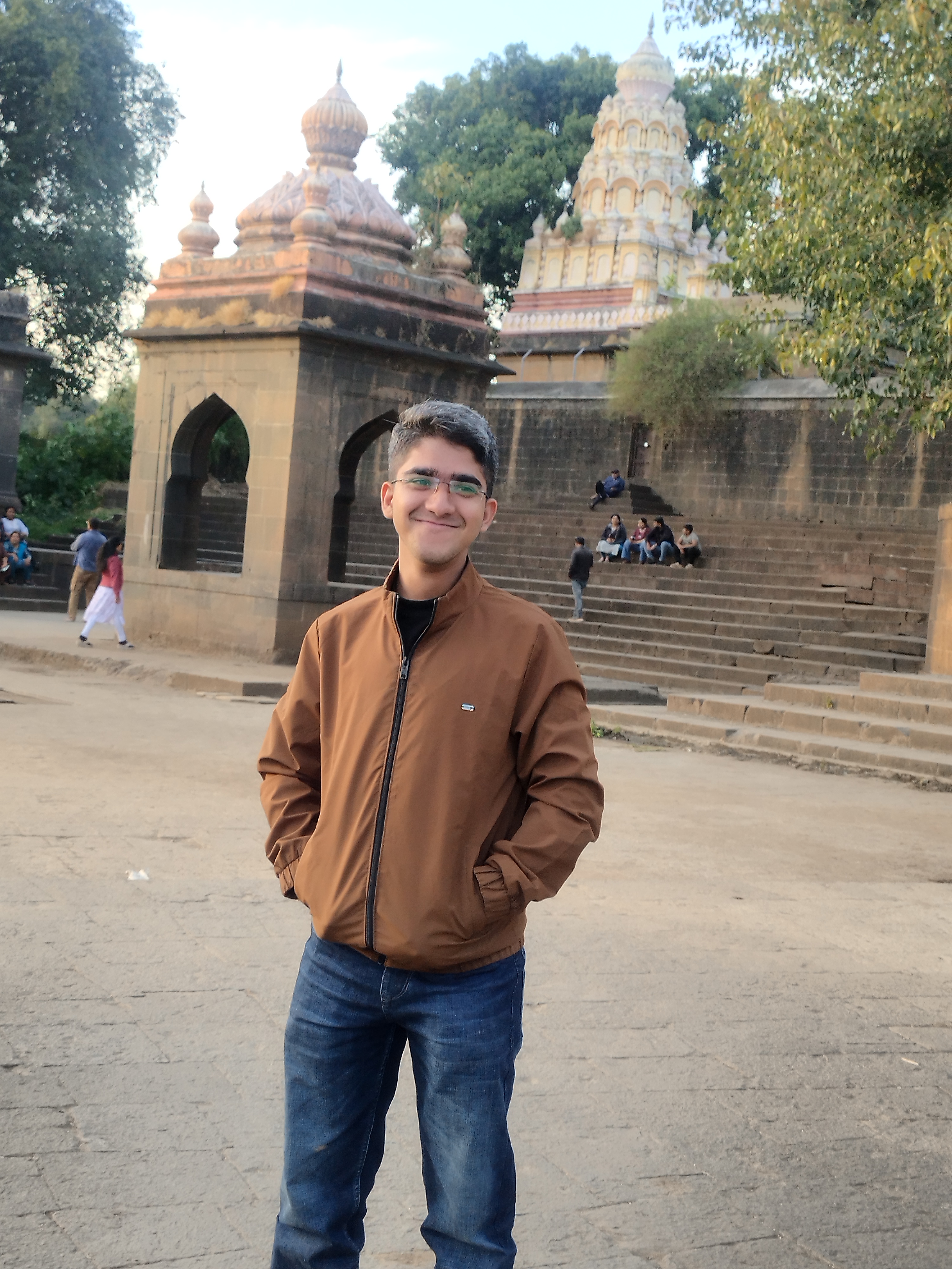
ABsynergy
Associate, Compliances & Regulations
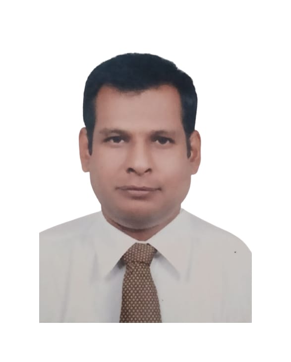
ABsynergy
Associate Lead Surveyor

ABsynergy
Associate Product Development
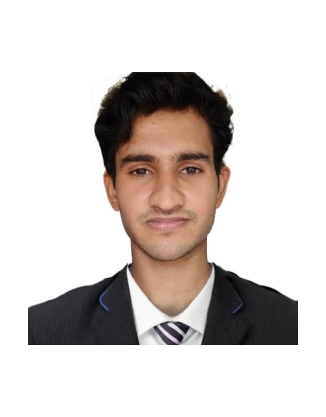
ABsynergy
Associate AI/ML Developer
02How we work — technologies
The scientific instruments, platforms and methods our teams combine on ABsynergy assignments.
20 Technologies
Advanced tools for scientific observation, mapping, modelling and spatial intelligence.
Technology
Satellite earth observation
Hover / Tap to exploreMultispectral and radar imagery analysis for land use, change detection, vegetation, water and environmental monitoring across seasons.
Technology
DGCA-compliant UAV surveys
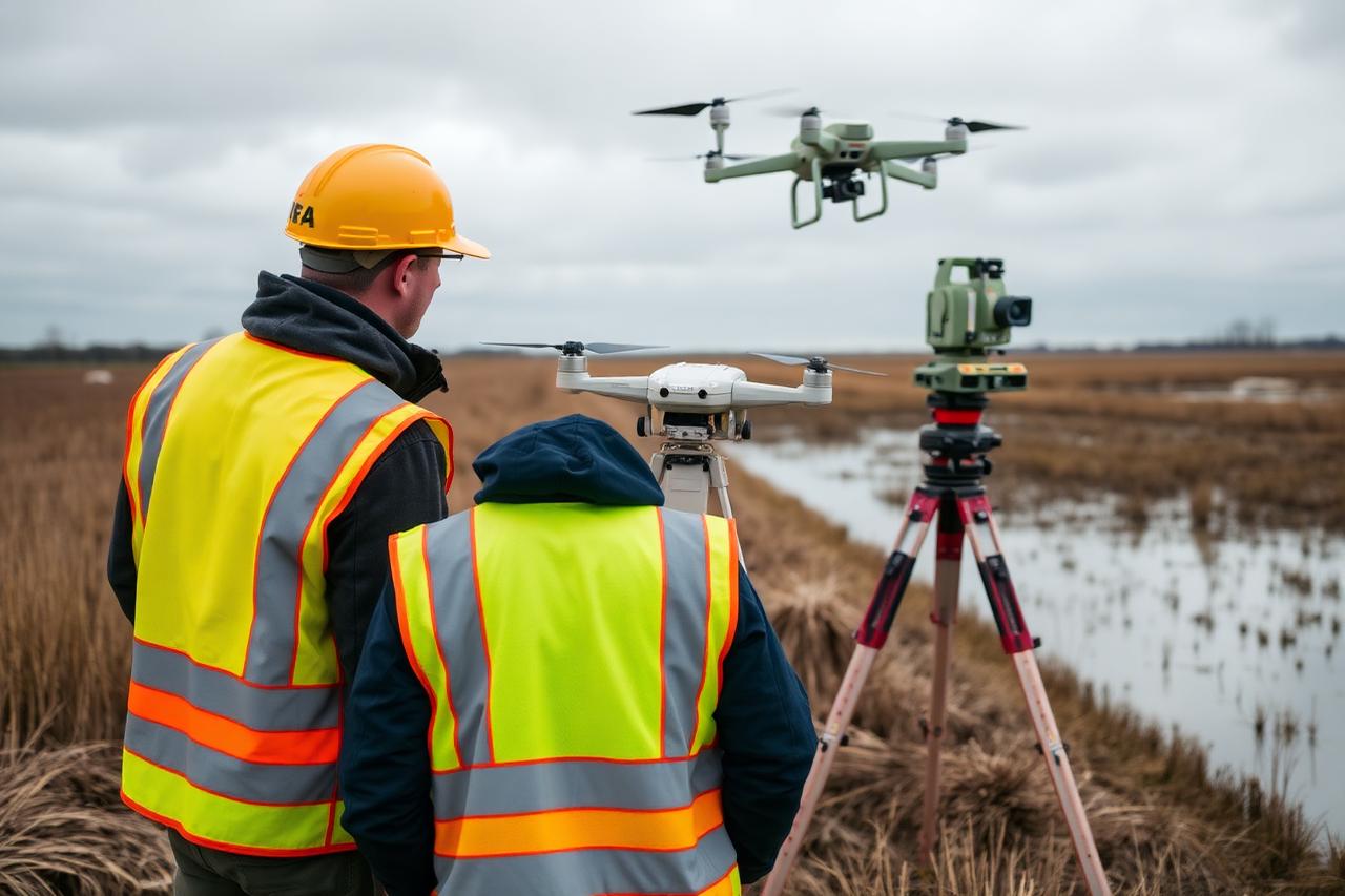
Hover / Tap to exploreDrone acquisition for mapping, volumetrics, heritage documentation and inspection, flown by certified pilots with survey-grade control.
Technology
High-density point clouds
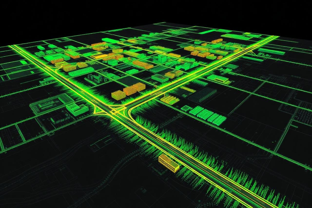
Hover / Tap to exploreAerial and terrestrial laser scanning for terrain, structures and heritage assets, with classification and feature extraction.
Technology
Spatial data systems
Hover / Tap to exploreGeodatabase design, thematic mapping, spatial analysis and web GIS delivery aligned to departmental data standards.
Technology
Non-invasive subsurface imaging
Hover / Tap to exploreDetection of buried structures, voids, utilities and archaeological features without excavation, delivered as interpreted profiles.
Technology
Photoreal 3D scene rendering
Hover / Tap to exploreRadiance-field based reconstruction producing photorealistic, web-deliverable 3D scenes of sites, temples and structures.
Technology
Project communication films
Hover / Tap to exploreShort, high-impact films combining aerial footage, data visuals and narrative for stakeholders, trusts and departments.
Technology
Underwater terrain mapping
Hover / Tap to exploreDepth surveys of tanks, reservoirs and river reaches to derive capacity, sedimentation and submerged terrain models.
Technology
Millimetre-scale documentation
Hover / Tap to exploreDetailed measurable 3D records of carvings, facades and artefacts from calibrated close-range imagery.
Technology
Precision positioning control
Hover / Tap to exploreContinuously operating reference station and differential GNSS control that anchors every survey to a verifiable coordinate framework.
Technology
Living models of assets
Hover / Tap to exploreReality-captured 3D twins of sites and complexes, maintained through re-survey and linked to asset and condition records.
Technology
AI-assisted geospatial workflows
Hover / Tap to exploreAI agents applied to feature extraction, document interpretation and reporting to shorten analysis cycles without losing traceability.
Technology
Hydraulic flood simulation
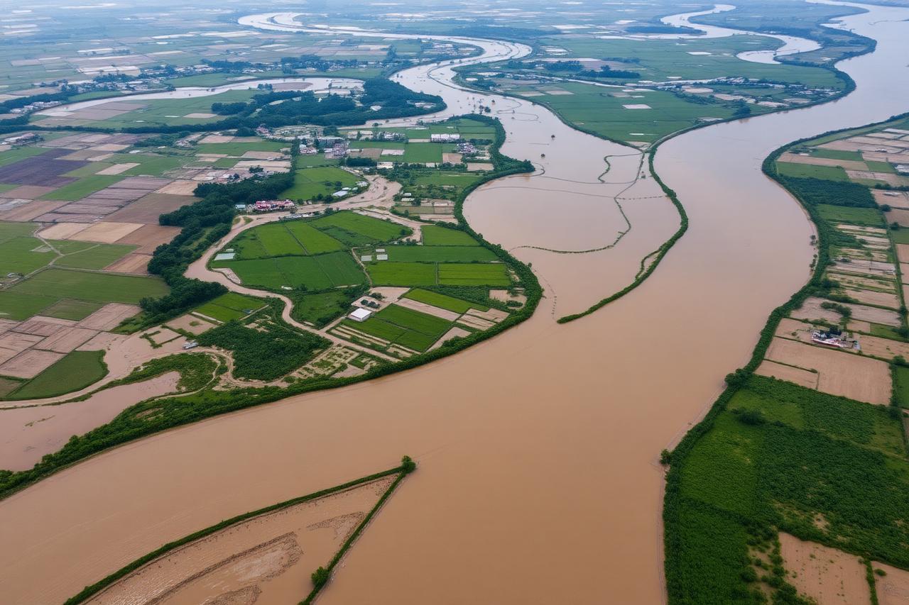
Hover / Tap to explore1D/2D flow modelling of rivers and floodplains producing inundation extents, depth-velocity grids and scenario comparisons.
Technology
Continuous environmental sensing
Hover / Tap to exploreDeployed sensors for air, water, noise and weather parameters, streaming into dashboards with archives and alerting.
Technology
Watershed simulation
Hover / Tap to exploreSoil and Water Assessment Tool modelling of runoff, sediment yield and land-use scenarios at watershed scale.
Technology
Subsurface investigation
Hover / Tap to exploreResistivity and allied geophysical methods supporting groundwater, geology and foundation investigations.
Technology
Acoustic monitoring
Hover / Tap to exploreCalibrated ambient noise measurement and mapping for compliance, impact assessment and urban studies.
Technology
Immersive site records
Hover / Tap to explore360° capture of temple complexes, campuses and project sites for archival, virtual tours and stakeholder review.
Technology
Quantity and void analysis
Hover / Tap to exploreVolume computation for mining and stockpiles, and subsurface interpretation for below-ground-level modelling.
Technology
Survey-grade ground control
Hover / Tap to exploreCentimetre-level ground control and boundary verification for mining leases, heritage sites and infrastructure corridors.
03Where we apply it — application domains
Technologies answer how we work; these domains answer where we apply it — each delivered by ABsynergy's subject experts with departmental compliance in view.
Application Domain
Baseline assessment, quantification and documentation support for water credit and carbon credit initiatives of industries and corporates.
Business EnquiryApplication Domain
Statutory water audits for industrial units — source-to-discharge accounting, loss identification and compliance reporting.
Business EnquiryApplication Domain
Design and feasibility of rooftop rainwater harvesting systems with catchment computation and recharge structure planning.
Business EnquiryApplication Domain
Delineation, health assessment and monitoring of wetlands, tanks and surface water bodies using satellite and field data.
Business EnquiryApplication Domain
Field biodiversity documentation and preparation of People's Biodiversity Registers for local bodies and committees.
Business EnquiryApplication Domain
Technical studies and documentation support for Central Ground Water Board and Irrigation Department no-objection clearances.
Business EnquiryApplication Domain
As-built 3D capture of plants, structures and industrial campuses using drone photogrammetry and laser scanning.
Business EnquiryApplication Domain
Habitat mapping, corridor analysis and spatial inputs for wildlife conservation and management plans.
Business EnquiryApplication Domain
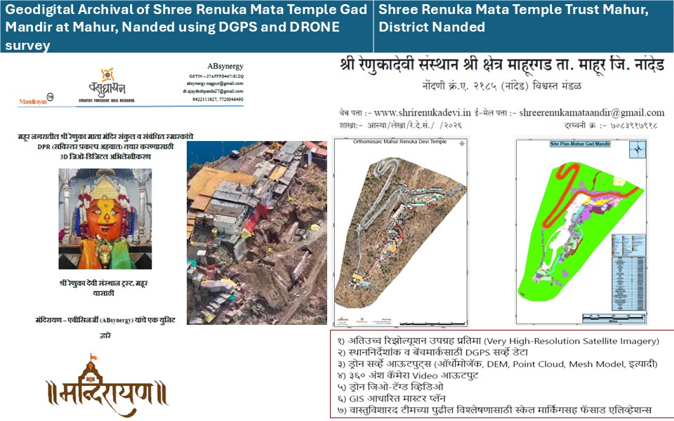
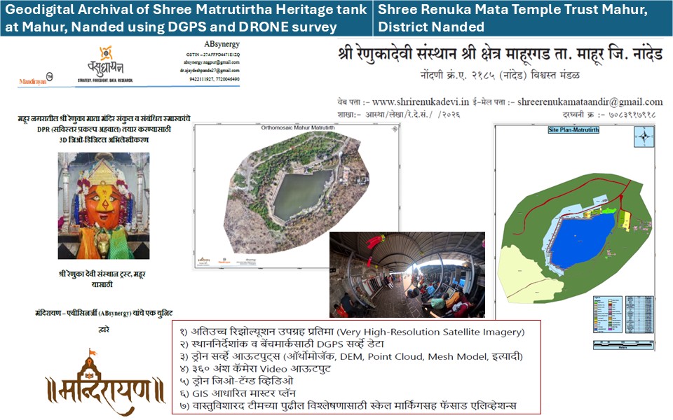
Measured documentation, condition mapping and conservation planning support for monuments and temple complexes.
Business EnquiryApplication Domain
Spatial and scientific inputs for heritage, environment, mining, NGO and CSR impact assessments.
Business EnquiryApplication Domain
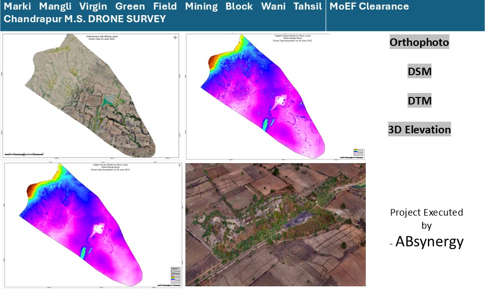
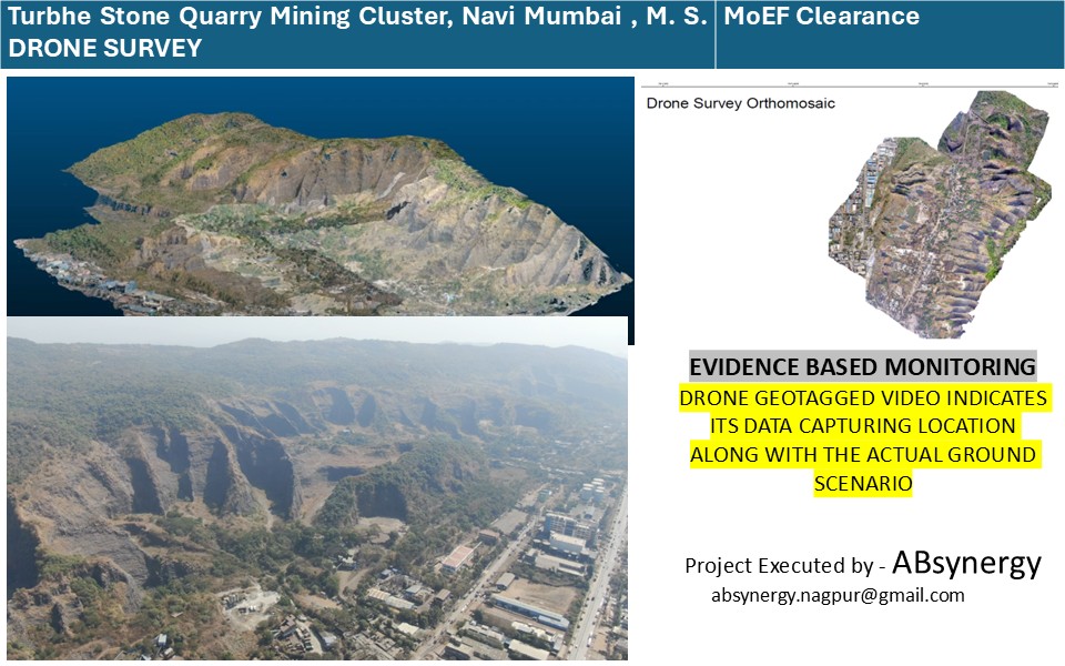
Lease boundary verification, periodic drone surveys and volume estimation for mining blocks and quarries.
Business EnquiryApplication Domain
Preparation of Development Plans and Regional Plans in the Remote Sensing and GIS domain for planning authorities.
Business EnquiryApplication Domain
GPR and geophysics-driven modelling of subsurface features, foundations and buried structures.
Business EnquiryApplication Domain
HEC-RAS based inundation scenarios, depth mapping and vulnerability assessment for rivers and settlements.
Business EnquiryApplication Domain
River morphology, encroachment and pollution mapping feeding into actionable river conservation plans.
Business EnquiryApplication Domain
Baseline socio-economic surveys, need assessment and geospatial monitoring of CSR programmes.
Business EnquiryOur Initiatives
ABsynergy delivers through two specialised units — Vasudhayan (Think Spatial) and Mandirayan™, a registered trademark entity for temple town ecosystem solutions.

Think Spatial
Vasudhayan provides scientific and technical services based on geospatial technology, across environment, water, mining, forest, urban and river systems.
Core Focus Areas

GeoSpatial Technology based Temple Town Ecosystem Solutions
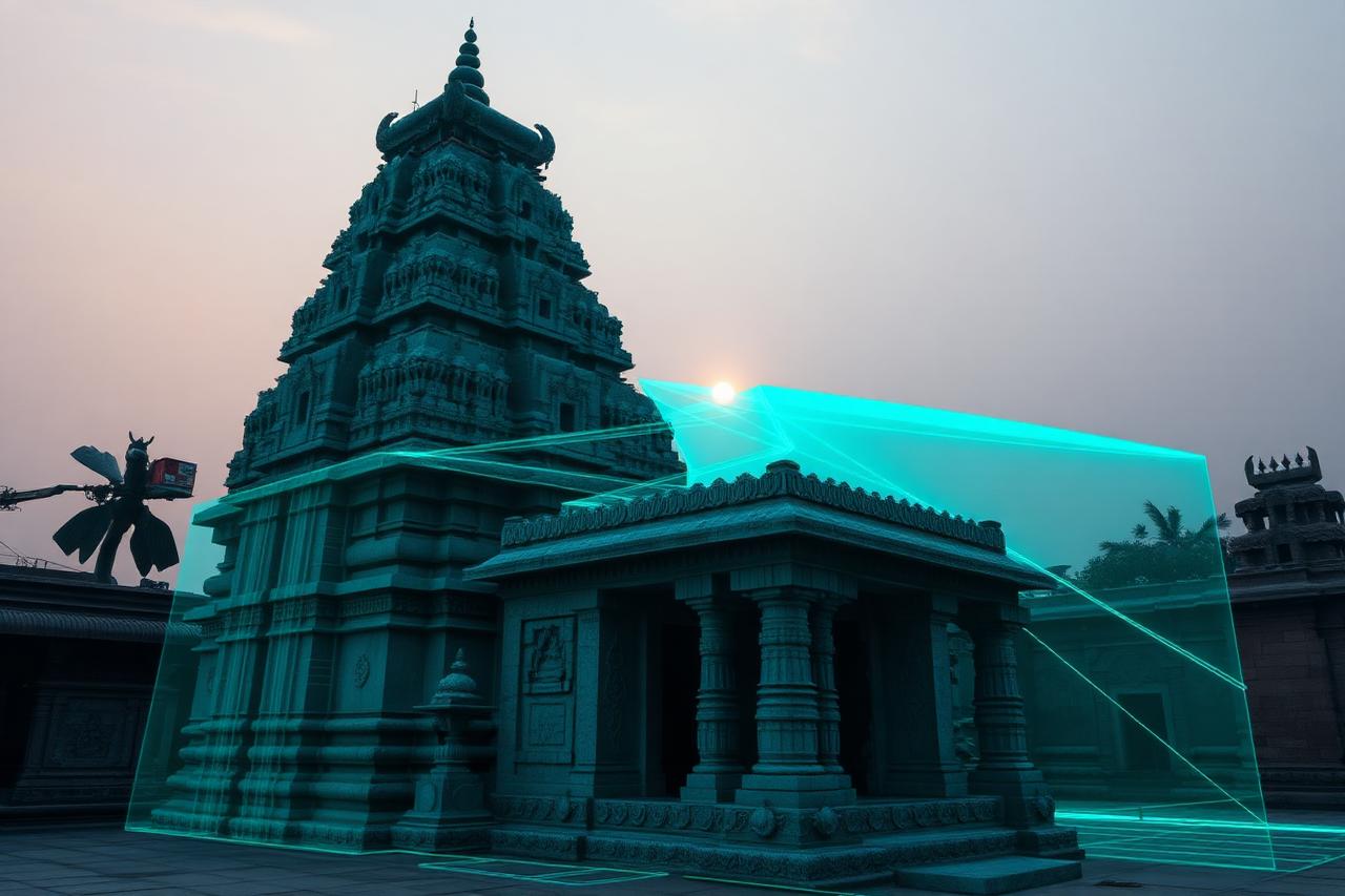
Mandirayan ™, a registered trademark entity, is dedicated to introducing futuristic, technology-driven temple ecosystems using DGPS/CORS, Drone, LiDAR, Close Range Photogrammetry, 360° recordings and GPR.
Core Focus Areas
Two specialised units. One scientific foundation. One integrated vision for technology-driven decision making.
Projects
A representative sample of delivered and ongoing programmes. Detailed case notes are available on request under confidentiality terms.
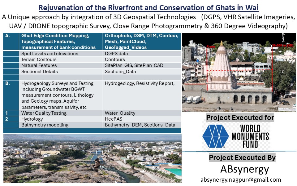 Vasudhayan
World Monument Fund India
Vasudhayan
World Monument Fund India
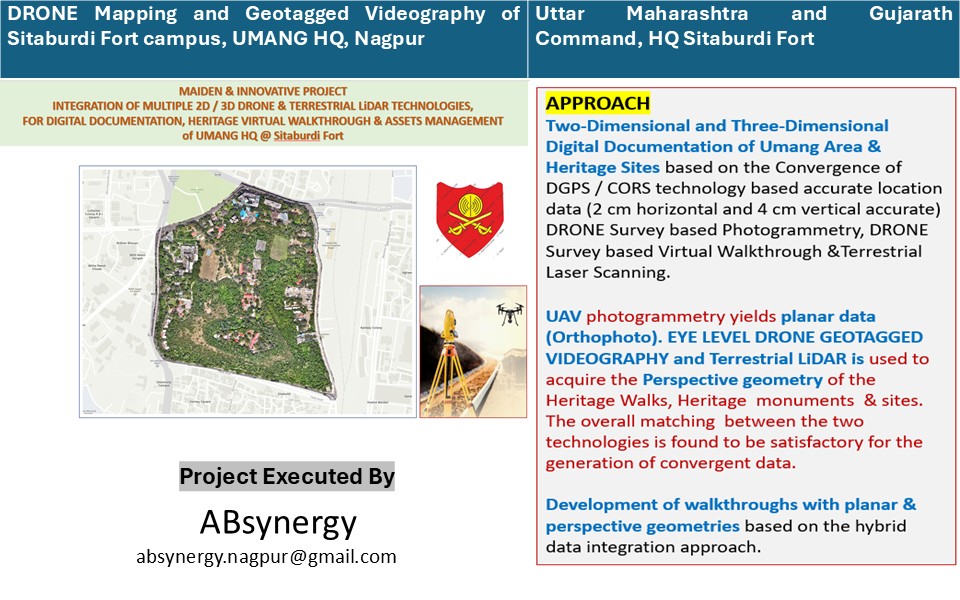 Vasudhayan
HQ Sitaburdi Fort, Nagpur
Vasudhayan
HQ Sitaburdi Fort, Nagpur
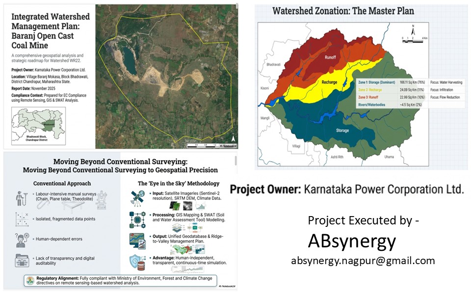 Vasudhayan
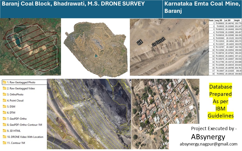
Karnataka EMTA Coal Mine
Vasudhayan
Karnataka EMTA Coal Mine
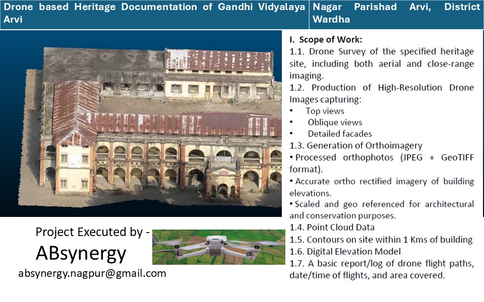 Vasudhayan
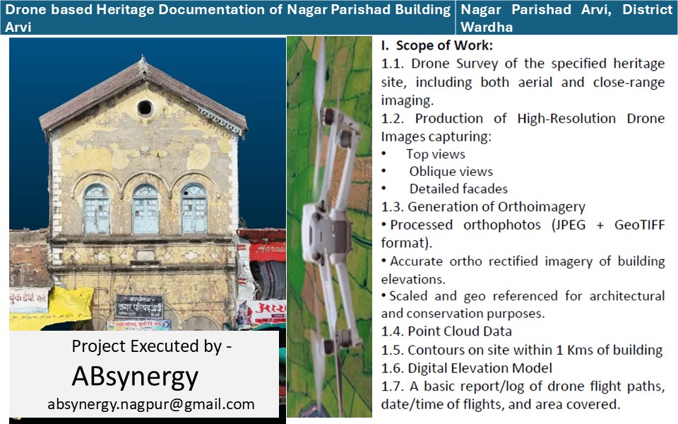
Nagar Parishad Arvi
Vasudhayan
Nagar Parishad Arvi
 Vasudhayan
Nagar Parishad Arvi
Vasudhayan
Nagar Parishad Arvi
 Vasudhayan
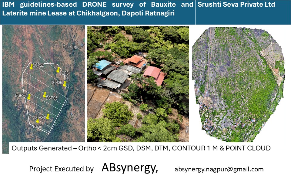
Srushti Seva Pvt Ltd
Vasudhayan
Srushti Seva Pvt Ltd
-fGtvzkgS.jpeg) Vasudhayan
VasudhayanCollectorate & Mining Department, Satara
Vasudhayan
Collectorate & Mining Department, Satara
 Vasudhayan
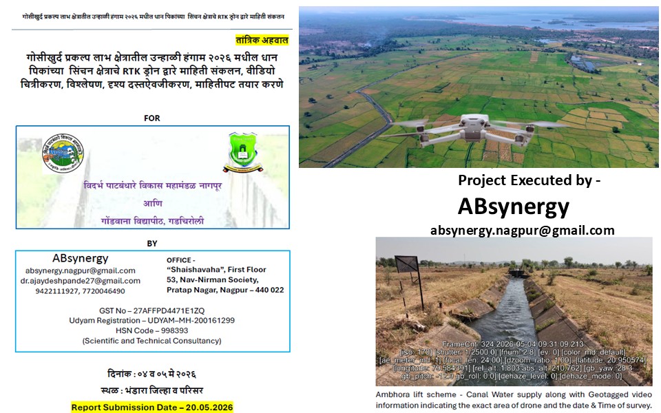
Gondwana University, Gadchiroli
Vasudhayan
Gondwana University, Gadchiroli
%20Orchha%20Distt%20Niwari_%20Madhya%20Pradesh..JPG-DRftwWTt.jpeg) Vasudhayan
VasudhayanMP Heritage Department
Vasudhayan
MP Heritage Department
 Vasudhayan
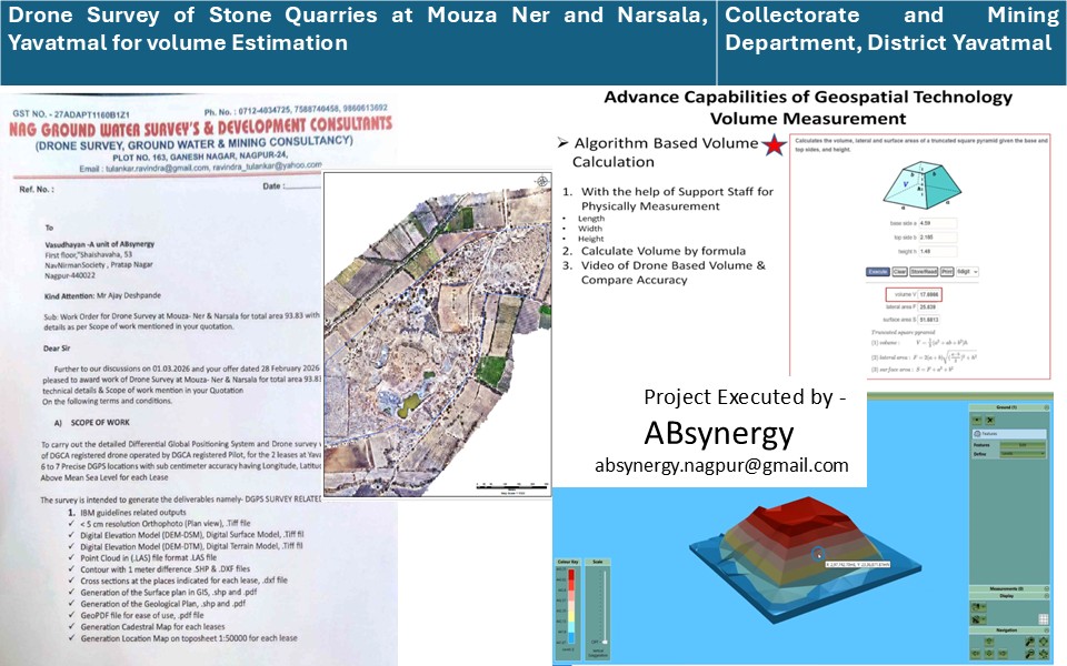
Collectorate & Mining Department, Yavatmal
Vasudhayan
Collectorate & Mining Department, Yavatmal
 Vasudhayan
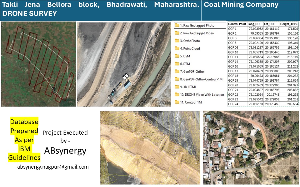
Mining Sector Client
Vasudhayan
Mining Sector Client
 Vasudhayan
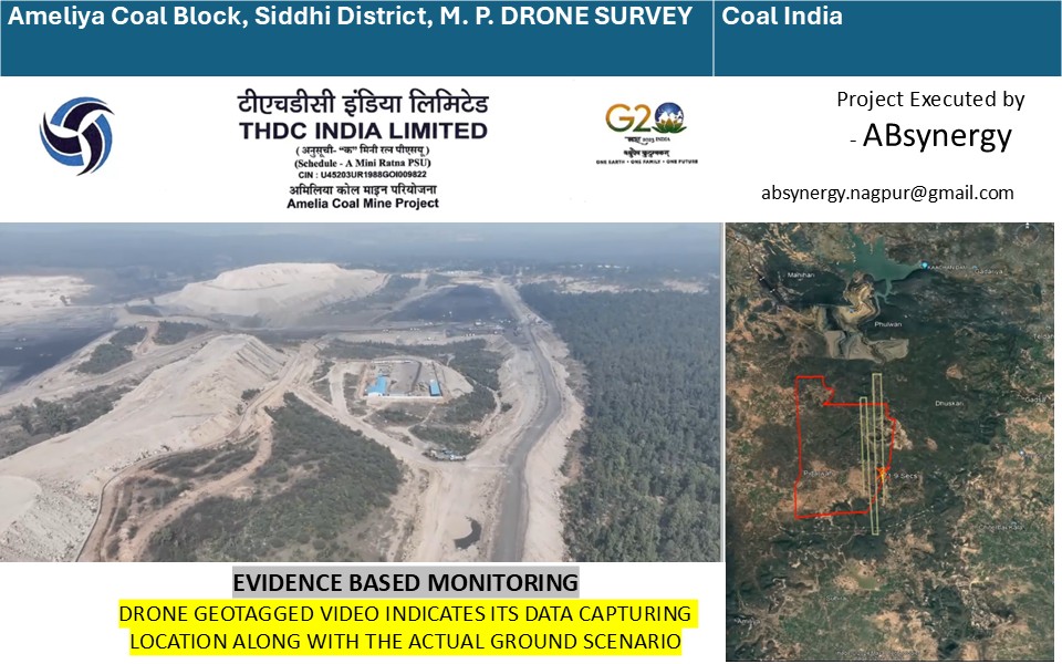
Mining Sector Client
Vasudhayan
Mining Sector Client
 Vasudhayan
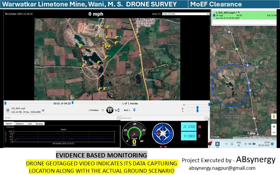
Mining Sector Client
Vasudhayan
Mining Sector Client
 Vasudhayan
Mining Sector Client
Vasudhayan
Mining Sector Client
 Vasudhayan
Mining Sector Client
Vasudhayan
Mining Sector Client
.JPG-DBDEnlHF.jpeg) Vasudhayan
VasudhayanMining Sector Client
Vasudhayan
Mining Sector Client
 Vasudhayan
Mining Sector Client
Vasudhayan
Mining Sector Client
 Mandirayan ™
Shree Renuka Mata Temple Trust, Mahur
Mandirayan ™
Shree Renuka Mata Temple Trust, Mahur
 Mandirayan ™
Shree Renuka Mata Temple Trust, Mahur
Mandirayan ™
Shree Renuka Mata Temple Trust, Mahur
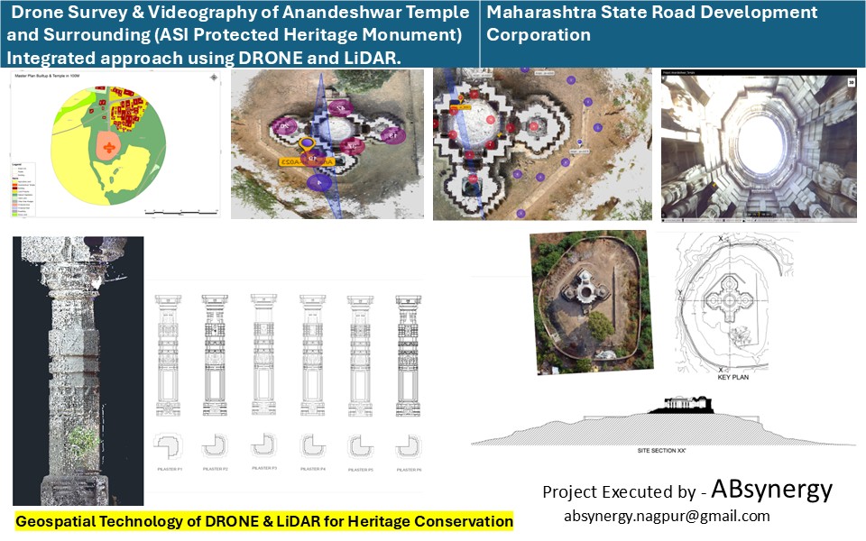 Mandirayan ™
Maharashtra State Road Development Corporation
Mandirayan ™
Maharashtra State Road Development Corporation
.JPG-C9l-KzwH.jpeg) Mandirayan ™
Mandirayan ™State Archaeology, Maharashtra
Mandirayan ™
State Archaeology, Maharashtra
.JPG-BGzWYRkt.jpeg) Mandirayan ™
Mandirayan ™State Archaeology, Maharashtra
Mandirayan ™
State Archaeology, Maharashtra
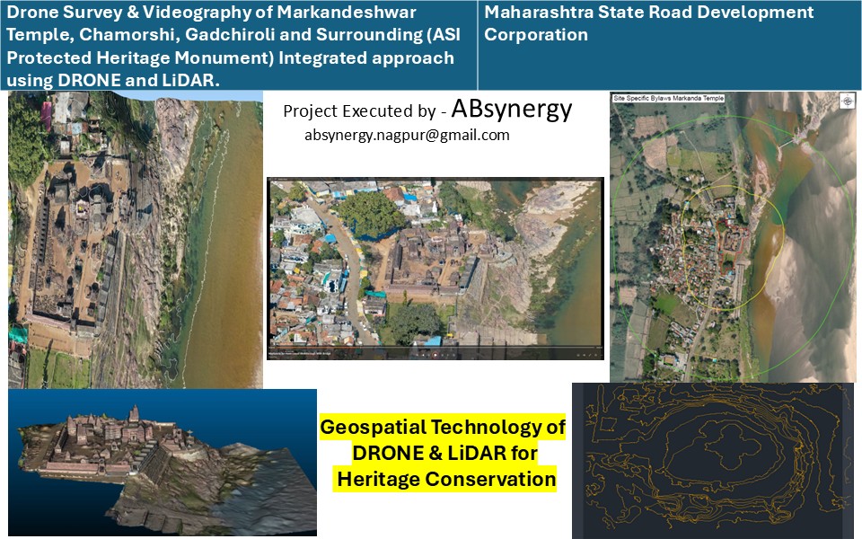 Mandirayan ™
Maharashtra State Road Development Corporation
Mandirayan ™
Maharashtra State Road Development Corporation
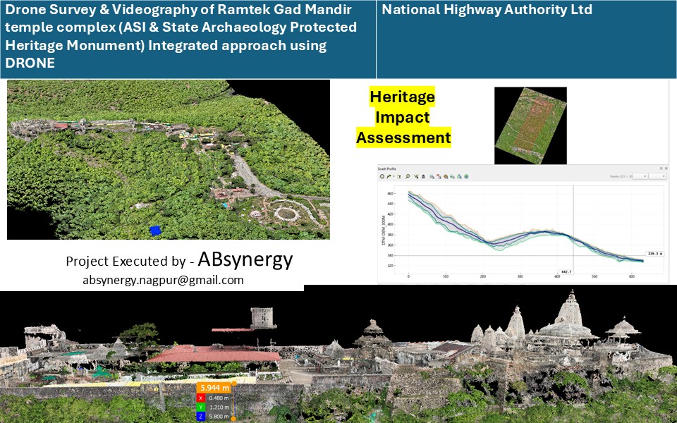 Mandirayan ™
NHAI
Mandirayan ™
NHAI
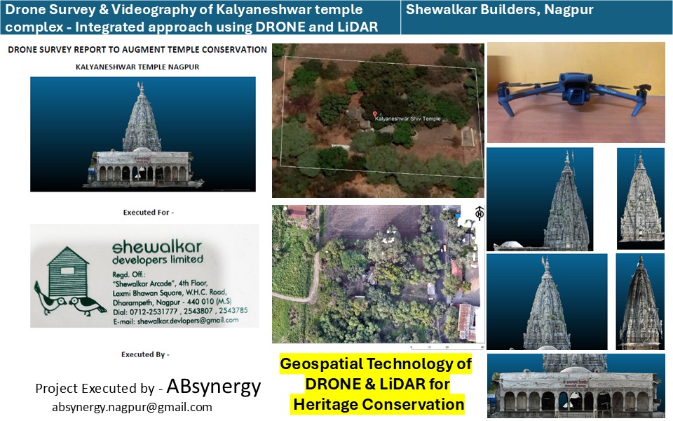 Mandirayan ™
Shewalkar Builders, Nagpur
Mandirayan ™
Shewalkar Builders, Nagpur
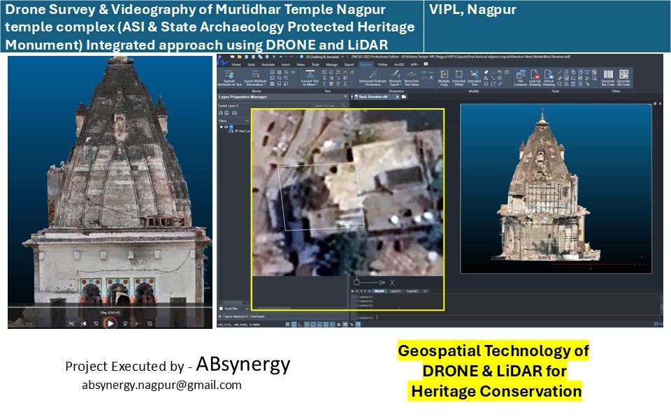 Mandirayan ™
VIPL, Nagpur
Mandirayan ™
VIPL, Nagpur
Career & training
ABsynergy conducts online / offline internships and training courses across engineering and science streams.
Online / Offline
Project-attached internships for engineering students.
Online / Offline
Internships for science graduates and postgraduates.
Online / Offline
Technical internships for ITI candidates.
Online / Offline
Instructor-led geospatial and drone training programmes.
From 01 Sep 2026, ABsynergy has formally extended beyond project activities into trainings, internships and capacity building programmes, guided by Dr. Ajay Deshpande and the senior advisory team.
Technology partners
ABsynergy works with specialist organisations and technology collaborators to bring the right expertise, capabilities and solutions to every programme.
Technology Partner
8, Bilvadal, Janta Layout, Deendayal Nagar, Nagpur 440 022
Technology Partner
Plot No. 1 & 2, Khasra No. 57/4, At Mouza Isasani, P.S.K. 46, Nagpur, India

Technology Partner
19, Borkute Layout, Narendra Nagar, Nagpur 440 015

Technology Partner
Pune, Maharashtra
Technology Partner
Marartoli, Ram Nagar, Nagpur, Maharashtra, 440033
Clients
Organisations ABsynergy has delivered geospatial and scientific consultancy work for.

Client

Client

Client

Client

Client

Client

Client

Client

Client

Client

Client
Gallery
Explore ABsynergy's photographs, videos, technical documentation and field notes through our external media and publishing platforms.
FAQ
If your question is not covered here, write to us and a technical lead will respond directly.
Contact
Reach us by phone, email or WhatsApp, or visit our Nagpur office. For tender and procurement queries, please mark your email to the same address.
Office
"Shaishavaha", First Floor, 53, Nav-Nirman Society, Pratap Nagar, Nagpur – 440 022, Maharashtra, India
Work with us
Two routes into ABsynergy: a technical enquiry for organisations, and an application for students and professionals seeking training.
For departments, companies, research bodies and NGOs. A technical lead responds within one working day.
For students, graduates and working professionals. Cohorts open every month across our technology tracks.